
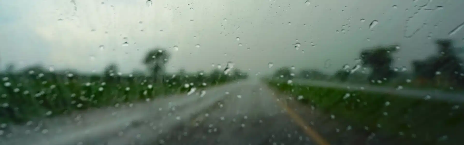
Knowing how to read the weather before a long-distance drive is an essential, yet often overlooked, skill. Many drivers decide to hit the road simply because the sky looks clear outside their house. In reality, a long-distance journey crosses many different weather zones—such as mountains, lowlands, and coastal areas—and conditions can change drastically within just a few dozen kilometers. Heavy rain, thick fog, and strong winds are not just inconveniences; they are accident risk factors that can be anticipated from the start if you know how to read weather forecasts correctly.
Reading the weather isn’t about becoming a meteorologist. It’s about taking 15 minutes before you leave to check information that is already available for free, and then making decisions with a clear head.
Three Major Threats of Long-Distance Travel
Heavy Rain
Heavy Fog
High Winds
Know the Route, Not Just the Destination
The most common mistake? Drivers only check the weather in their departure city and final destination. But the real danger often hides right in the middle of the route—especially in mountain passes, hilly roads, or high-altitude areas that have their own unique weather patterns.
Before you hit the road, pinpoint at least three critical spots along your route: your starting point, the midpoint, and the area just before your destination. Check the weather forecast for each of these specific spots
Easy Tips
Use BMKG (bmkg.go.id) or high-resolution weather apps like AccuWeather and Windy. Turn on early warning notifications so you can stay updated, even when you’re already on the road.
Reading the Signs of Heavy Rain Before It Falls
Sudden heavy rain is the ultimate enemy of long-distance trips. Aquaplaning happens when your tires lose contact with the asphalt due to a layer of water, and braking becomes far less effective on wet roads. Visibilities can also drop below 100 meters in a matter of seconds.
Heavy Rain Warning Signals:
- Forecasts indicate an intensity of ≥50 mm/hour or a “very heavy rain” category
- The sky turns a dark grayish-purple in the direction of your travel
- Strong winds blow and suddenly change direction
- Flood or waterlogging information appears in rider community groups or Waze
- Temperature drops sharply within a short period in the weather forecast
Fog: The Frequently Underestimated Danger
Heavy fog is a condition often taken lightly, even by experienced drivers. In reality, it can drop visibility to under 30 meters—a dangerously short distance when you’re cruising on highways or national roads.
The thickest fog usually rolls in from the early hours of the morning until around 8:00 AM, as well as in valleys or hilly areas after a rainy night. If your route takes you through places like Puncak, Dieng, or other mountain passes, take this time window seriously.
The Fog Strategy
If you see fog ahead, slow down before entering it. Switch on your fog lights—not your high beams—keep three times your usual follow distance, and always follow the road markings. Never try to overtake in the fog.
Strong Winds: The Invisible Threat
Unlike rain and fog, which are visible to the naked eye, strong winds are invisible—and that’s exactly what makes them so dangerous. Winds exceeding 60 km/h can easily destabilize tall vehicles like buses, trucks, and SUVs. On bridges or open-air tunnels, the impact can be much more extreme due to the lack of natural barriers.
Keep an eye on wind speed reports in your weather app, especially if your route involves long bridges, open plains, or coastal areas. Winds of 50 km/h or higher are already enough to significantly affect your vehicle’s handling.
Trustworthy Weather Tools and Sources You Can Count On
Not all weather apps are created equal. For long-distance road trips in Indonesia, use this ultimate combination:
- BMKG (bmkg.go.id) — The official government source; highly accurate for early warnings and extreme weather alerts across the Indonesian archipelago.
- Windy.com — Real-time wind and rain visualization in a map format, which is incredibly useful for tracking the movement of weather systems.
- AccuWeather / Weather.com — Hourly forecasts with detailed breakdowns of rain intensity and wind speed.
- Waze / Google Maps — Real-time reports from fellow drivers regarding floods, slippery roads, or weather-related accidents.
- Automotive / Touring Community Groups — First-hand, boots-on-the-ground information from drivers who cleared the same route just hours ahead of you.”
Make Decisions, Not Excuses
Delaying your departure isn’t a sign of weakness—it’s a sign of intelligence. If the forecast predicts hazardous conditions during your travel window, consider three options: delay your departure by 1–2 hours, take an alternative route that bypasses the affected areas, or decide not to travel at all that day if conditions are simply not favorable.
The question you need to answer before setting off is simple: if the weather turns out exactly as forecasted, am I confident I can manage this trip safely?
ALWAYS REMEMBER:
Even the most advanced vehicle has its physical limits on wet asphalt, thick fog, or when buffeted by strong winds. Technology helps, but it can never replace wise driver decisions before the wheels even start turning.
A safe trip doesn't begin behind the wheel, but the moment you open the weather forecast with an open eye and mind.
Read Also

 English
 Indonesian
Comment